A magnitude 7.7 earthquake originating at a shallow depth of 10 kilometers struck the Flores region in Indonesia's East Nusa Tenggara province, resulting in 53 fatalities, over 130 injuries, and the displacement of approximately 5,000 residents. The event exposed systemic vulnerabilities in regional infrastructure, emergency logistics, and post-disaster structural integrity management. Deconstructing this event requires analyzing three primary vectors: the geophysical parameters driving surface destruction, the logistical bottlenecks impeding rescue operations, and the economic toll function governing housing vulnerability.
The Geophysical Mechanics and Shallow Depth Multiplication
The severity of ground motion is a direct function of focal depth, magnitude, and local soil amplification. The United States Geological Survey recorded the Flores earthquake at a 10-kilometer depth. Shallow earthquakes of this scale concentrate seismic energy within a narrow crustal volume, preventing seismic waves from attenuating over distance before reaching the surface.
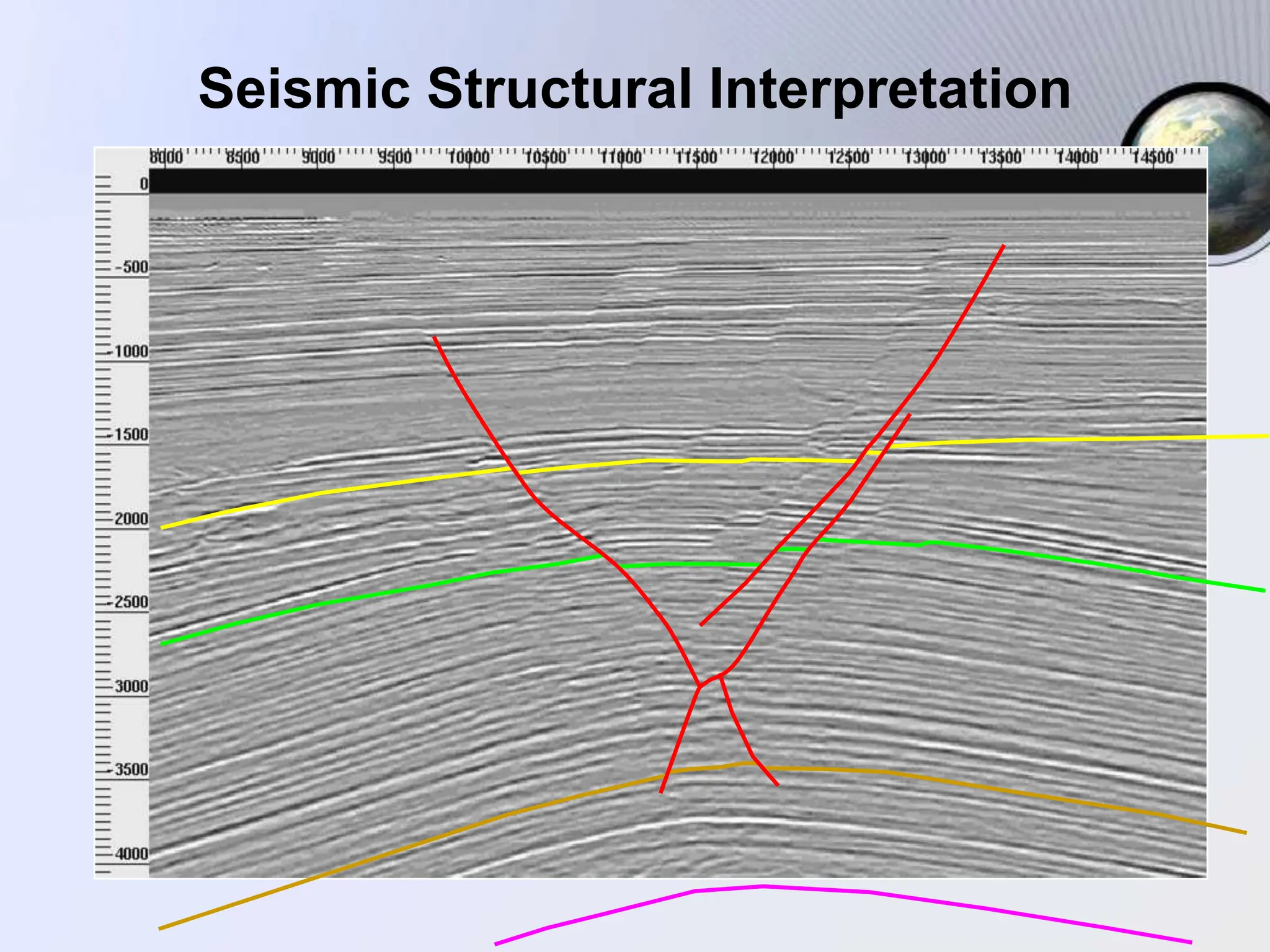
This high-frequency energy release triggered widespread liquefaction and slope failure across the mountainous terrain of Flores. The island sits within a complex collision zone where the Australian Plate subducts beneath the Eurasian Plate. The resulting tectonic stress builds continuous potential energy that releases violently along regional fault lines, such as the Flores Back-Arc Thrust System.
Following the mainshock, the National Disaster Management Agency recorded nearly 1,000 aftershocks. While only a fraction of these secondary events were perceptible to human senses, the continuous cumulative strain on already fractured building envelopes prevented safe re-entry. The psychological and physical necessity of outdoor evacuation for 5,000 displaced individuals was driven by the rational fear of progressive structural collapse under repeated seismic loading.
The Logistical Cost Function of Island Topography
Rescue efficacy in archipelagic disaster zones is constrained by linear infrastructure dependencies. The primary artery of the affected region, the Trans-Flores Highway, spans roughly 700 kilometers across steep topography. Landslides triggered by the initial shaking severed sections of this corridor, isolating regencies such as Manggarai, East Manggarai, and Nagekeo.
When arterial roads fail, the rescue logistics function transitions from rapid vehicular deployment to constrained manual clearing and aerial or maritime alternatives. The mathematical delay in opening these corridors directly correlates with secondary morbidity—untreated trauma, lack of potable water, and infant care shortages in makeshift camps.
Communication disruptions and power outages compounded these delays. Telecommunication towers lost primary grid power and backup generator fuel supplies, blinding disaster coordinators to real-time damage assessments at the village level. Command-and-control structures operate efficiently only when data telemetry remains intact; the loss of cellular nodes forced decentralized, ad-hoc survival responses among rural populations.
The Economic and Material Cost of Structural Vulnerability
The architectural typology of rural Flores relies heavily on non-engineered masonry and unreinforced timber framing. Official assessments indicate that over 900 homes were completely destroyed and hundreds more sustained major damage across East Nusa Tenggara province.
Unreinforced masonry lacks ductility. When subjected to the peak ground acceleration of a 7.7-magnitude event, brittle materials fracture instantly without absorbing kinetic energy through plastic deformation. The economic cost function of these buildings is heavily skewed: low initial construction cost yields near-zero seismic resilience, transferring the total cost of failure onto human lives and post-disaster recovery budgets.
Self-evacuation patterns demonstrated clear risk mitigation strategies by local inhabitants. In the Sikka region, over 3,300 individuals moved immediately to open spaces such as sports arenas or elevated hillsides. This spontaneous dispersion prevented higher casualty figures during the subsequent wave of aftershocks, compensating for the absence of automated early warning infrastructure in remote hamlets.
Strategic Operational Playbook for Regional Resilience
To mitigate structural failure rates in subsequent seismic events across high-risk tectonic zones, civil protection frameworks must transition from reactive rescue models to preventative capital allocation.
First, regional building codes must mandate low-cost seismic retrofitting for existing unreinforced masonry structures, introducing horizontal confinement bands and timber-frame bracing to absorb lateral shear loads. Second, decentralized micro-grids for emergency power and satellite-linked communication terminals must be permanently stationed in remote regencies to eliminate the command-and-control blackouts that consistently cripple the initial seventy-two-hour response window. Third, geological hazard mapping must restrict permanent settlement along landslide-prone mountainous gradients and active fault reactivation zones.
Earthquake in Indonesia: 53 Killed, Thousands Evacuated as Aftershocks Hamper Rescue
This video provides on-the-ground footage and official reporting detailing the aftermath of the earthquake and the ongoing evacuation challenges in the affected region.