You have seen the headlines about Chinese fighter jets crossing the Taiwan Strait median line. It is loud, dramatic, and gets overnight coverage on global news networks. But while everyone watches the skies, Beijing just pulled off a quiet, bureaucratic maneuver on the water that might actually matter much more for the long-term future of the region.
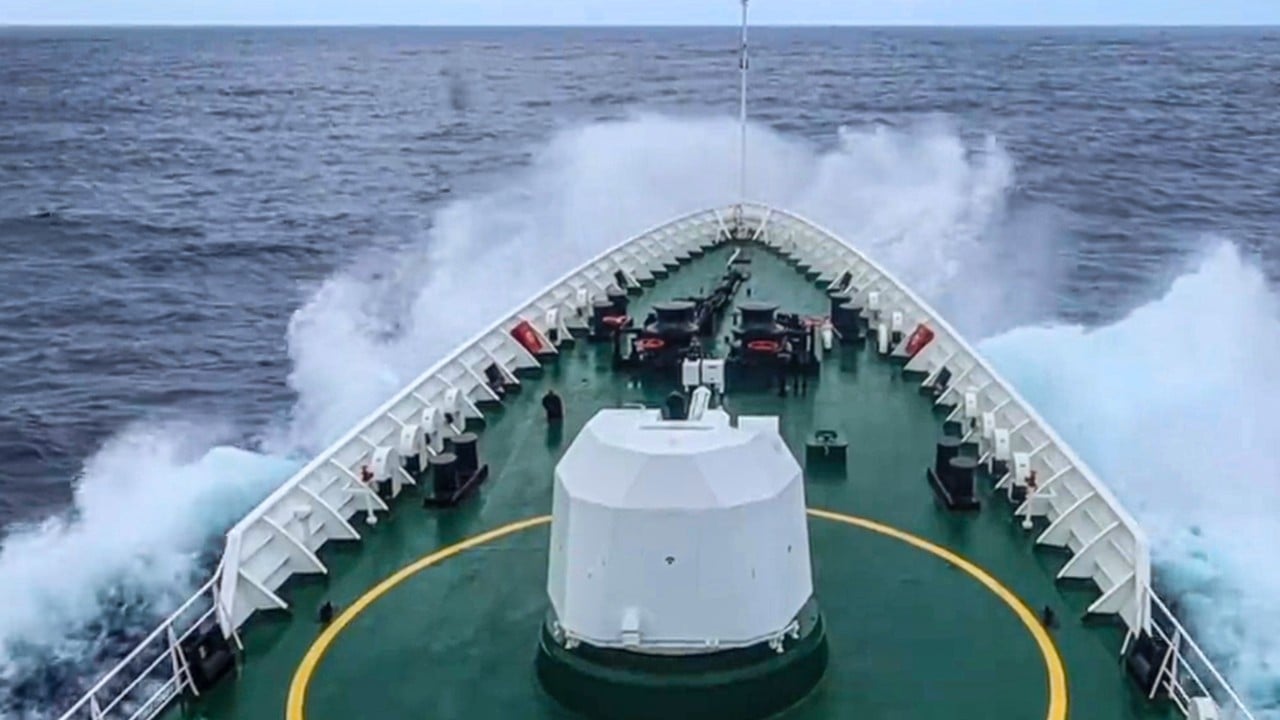
From June 16 to 18, 2026, the Chinese Ministry of Natural Resources quietly sent its specialized research vessel, the Xiang Yang Hong 22, to conduct what it officially labeled a marine environmental survey. The ship sailed directly into the waters east of Taiwan. On paper, the crew was simply collecting data on seawater environmental DNA, tracking whale and dolphin migrations, and assessing atmospheric conditions.
In reality, this is the opening salvo of a new phase in Beijing gray-zone tactics. It is an intentional shift from flash-in-the-pan military intimidation to permanent, administrative colonization of the waters surrounding Taiwan.
The Strategy Behind Administrative Sovereignty
For decades, the rough waters of the Pacific East of Taiwan were seen as a natural barrier. Taipei looked to its east coast as a secure rear area where it could hide its finest fighter jets inside the sanctuary of mountain hangars like Chiashan Air Force Base. Beijing rarely pushed past the island into the open ocean except during high-profile, short-lived military drills.
That era is over. According to reports from state media affiliates like Yuyuantantian, this latest survey marks the moment Beijing nearshore governance model officially expanded into the natural resources sector. It means China is treating the open Pacific waters east of Taiwan as its own backyard, laying the groundwork for what it calls territorial spatial planning.
When you look closely at how China handles territorial disputes, the pattern is identical. You don't just send warships; you send civil servants, environmental scientists, and maritime traffic police. By establishing an annual, routine presence under the guise of ecological conservation, Beijing is attempting to normalize its jurisdiction.
If you let a neighbor mow a strip of your lawn every single weekend for five years without a word, it becomes incredibly difficult to argue where the property line sits when they finally decide to build a fence. That is exactly what is happening here.
The Real Trigger Point
The timing of this oceanographic push is not accidental. On May 28, 2026, Japanese Prime Minister Sanae Takaichi and Philippine President Ferdinand Marcos Jr. met at a summit and dropped a massive diplomatic bombshell. They announced their countries would begin formal bilateral talks to delimit their overlapping Exclusive Economic Zones (EEZs) in the Western Pacific.
Look at a map of that region. The area where the Japanese and Philippine maritime claims naturally overlap sits directly east of Taiwan.
By keeping both Taipei and Beijing entirely out of those boundary discussions, Tokyo and Manila dropped an implicit, collective denial of Chinese sovereignty. The message was unmistakable: We do not recognize Chinese claims here.
Beijing reacted with immediate fury. Within days, the Ministry of Transport launched what it called a special maritime traffic law enforcement and hydrographic survey operation in those exact waters, claiming its own continental shelf rights were being compromised. By mid-June, they followed up with the Xiang Yang Hong 22 eco-expedition.
Taiwanese President Lai Ching-te quickly called a press conference in Taipei on June 18, forcefully pointing out that under international law, China is not a coastal state in that specific region and possesses zero legal basis for its claims. Lai labeled the operations a serious and imminent threat, urging regional allies to form a united front.
The Double Threat of Undersea Mapping
Do not let the friendly talk about dolphin tracking and environmental DNA fool you. Oceanographic data is inherently dual-use, meaning the exact same information used to save a reef can be weaponized to hunt or hide a submarine.
When a research vessel maps the exact thermal layers of the ocean, measures salinity changes, and tracks underwater topography, it creates a detailed map of acoustic propagation. Sound travels differently depending on water temperature and salt content. If a navy understands those variables perfectly, its sonar operators can spot enemy submarines from vastly greater distances while hiding their own boats in acoustic blind spots.
Controlling the waters east of Taiwan is essential to China Anti-Access Area Denial strategy. In a hypothetical conflict, Beijing needs to prevent the United States Navy and other allied forces from approaching Taiwan from the deep waters of the Pacific.
The data gathered by civilian ships like the Xiang Yang Hong 22 is directly feeding the databases that the People's Liberation Army Navy will use to enforce a sea quarantine or total naval blockade around the island.
From Surveys to Hard Enforcement
The transition from scientific exploration to active economic and physical control is already mapped out in Beijing public planning. State media explicitly noted that future initiatives in these eastern waters will advance toward multi-dimensional tiered planning.
What does that look like practically? It means China plans to authorize surface-water aquaculture, regulate maritime shipping lanes, and assert control over the deployment of undersea cables and pipelines at the seabed level.
If Beijing begins issuing fishing licenses or regulating commercial subsea internet cables east of Taiwan, it forces international corporations and neighboring states to make a choice. If you comply with Chinese regulations to avoid friction, you are implicitly recognizing their sovereignty. If you ignore them, you risk facing enforcement actions from the China Coast Guard, which now routinely escorts these research vessels.
Next Steps for Regional Stability
The challenge for Taiwan and its allies is that gray-zone operations like these are incredibly difficult to counter without escalating into a hot war. You cannot easily justify firing a shot at a civilian research vessel measuring water temperatures.
Countering this strategy requires immediate, coordinated maritime transparency:
- Simultaneous Tracking: Taiwan Coast Guard Administration and Japan Maritime Self-Defense Force must continue publicizing the exact paths, hull numbers, and actions of these Chinese vessels in real time to strip away the cover of pure scientific research.
- Trilateral Integration: Taipei must find a back-channel way to integrate its own maritime data into the upcoming Japan-Philippines EEZ boundary negotiations, ensuring Taiwanese sovereign rights are not sidelined or erased by Beijing pressure.
- Increased Allied Patrols: Freedom of navigation operations cannot just be restricted to the narrow Taiwan Strait. Allied research and naval vessels need to increase their own routine presence in the deep waters of the Philippine Sea to demonstrate that the Western Pacific remains international water.
The battle for Taiwan will not just be decided by the number of missiles stationed on either side of the strait. It is being fought day by day, knot by knot, by civilian scientists mapping the ocean floor.
If you want a deeper look at how these dynamics play out on the water, take a look at this detailed breakdown of the immediate regional pushback: Taiwan Condemns China for Conducting Marine Research in Its EEZ. This video outlines the direct strategic context behind the Lai administration's urgent response to Beijing's recent operations.