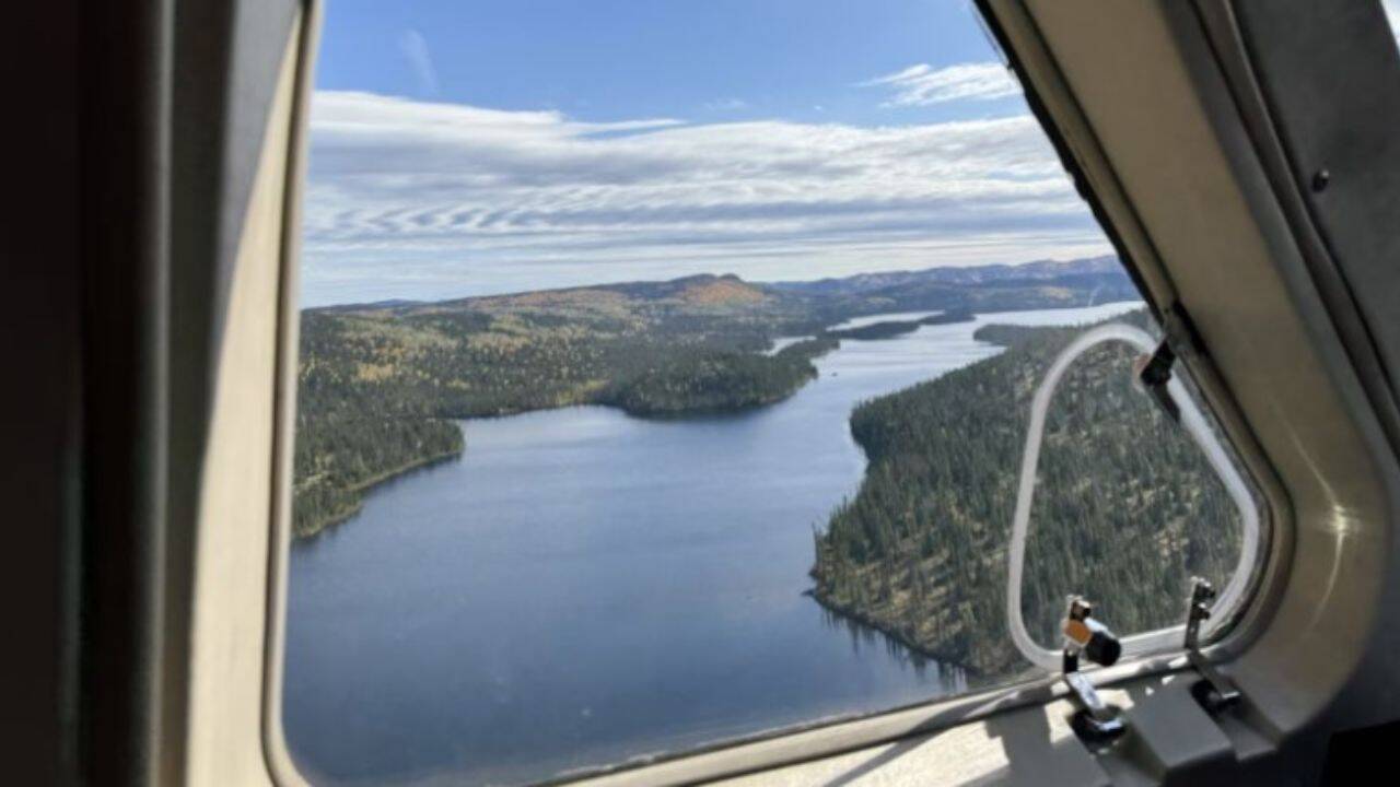
Every few months, mainstream media falls in love with the exact same fairytale: an ordinary citizen zooms in on Google Maps, spots a round depression, and somehow "outsmarts" decades of professional geological surveys. It makes for great clickbait. It feeds the democratic illusion that anyone with a browser can make earth-shattering scientific breakthroughs from their couch.
It is almost always complete nonsense.
The recent coverage surrounding a Quebec resident noticing a circular pit on satellite imagery—promptly hailed as the "discovery" of an impact crater—ignores how geological verification actually works. What the public sees as a triumph of crowd-sourced science is usually a classic case of pareidolia paired with severe confirmation bias.
We need to stop confusing satellite pattern recognition with actual science.
The Mirage of the Perfect Circle
Human vision evolved to recognize patterns, even where none exist. When you stare at satellite imagery, circular features practically scream for attention. The immediate jump in logic goes straight to "meteorite."
In reality, nature produces circular structures constantly through mundane, terrestrial mechanics.
- Sinkholes and Karst Topography: Carbonate rocks dissolve over millennia, collapsing into near-perfect circles.
- Volcanic Calderas and Vents: Internal thermal pressures regularly leave round footprints.
- Glacial Kettle Lakes: Melting blocks of ice trapped in glacial drift leave steep, circular depressions.
- Igneous Intrusions: Ring dikes and eroded plutons create striking circular outlines that look artificial or explosive.
I have evaluated hundreds of claimed "structures" brought forward by enthusiastic amateur mappers. Over 99% of them collapse under basic scrutiny. A round hole on a 2D map is not evidence of an extraterrestrial impact. It is barely a hypothesis.
Why Remote Sensing Is Not Verification
The fundamental flaw in these viral discovery stories is the conflation of remote sensing with geological proof.
Google Maps provides optical top-down data. That's it. It shows surface reflectance and elevation models derived from satellite telemetry or aerial photogrammetry. It tells you absolute zero about the microscopic structural deformation of the rock underneath.
To confirm an impact structure, planetary scientists do not look at how round a hole is. They look for shock metamorphism.
What Actual Proof Requires
If you want to prove an asteroid hit the Earth, you need physical samples subjected to pressures exceeding 10 gigapascals. You need to take drill cores or field samples and find:
- Shatter Cones: Distinctive striated conical fracture patterns in rock that only form under high-velocity shockwaves.
- Planar Deformation Features (PDFs): Microscopic optical parallel lines inside quartz grains created by extreme pressure.
- High-Pressure Mineral Polymorphs: Coesite or stishovite—exotic phases of silica that standard terrestrial magmatic or metamorphic processes cannot produce.
- Extraterrestrial Geochemical Signatures: Sizable iridium anomalies or platinum-group element ratios that match meteoritic compositions.
If you do not have microscopic PDFs or shatter cones, you do not have a crater. You have a pit.
Calling a depression an impact crater based on a satellite image is like diagnosing a rare genetic disease based solely on a profile picture. It ignores the required diagnostic testing entirely.
The High Cost of Crowdsourced Hype
Promoting amateur map-scouring as legitimate field science does real damage to geological research.
When a story goes viral, university departments and government surveys are inundated with emails from armchair geologists demanding immediate field expeditions to inspect their local pond or quarry. Fieldwork is expensive, grueling, and resource-constrained. Funding is absurdly tight. Diverting time and money to investigate thousands of false positives driven by social media hype actively drags down legitimate planetary science.
Worse, it misinforms the public about how science actually progresses. True field research is not a sudden epiphany while scrolling on a tablet. It is weeks of dragging heavy packs through dense bush, collecting kilograms of rock samples, cutting thin sections, and spending grueling hours behind a polarizing microscope or electron microprobe.
How to Actually Analyze Earth Features Like a Professional
If you insist on hunting for geological anomalies on satellite software, throw out the idea that "round equals crater." Strip away the superficial optics and apply actual analytical rigor.
1. Cross-Reference Regional Geological Maps
Before getting excited about a shape, cross-reference your coordinates with state or provincial bedrock maps. If your circular feature sits squarely inside a known belt of soluble limestone or active salt tectonics, you are looking at a sinkhole or a collapse structure. End of story.
2. Examine Geophysics, Not Just Images
Look at regional gravity and magnetic survey datasets. Impact events shatter regional rock density and alter magnetic signatures, often leaving distinct central magnetic anomalies surrounded by a low-density basin. If the regional gravity map shows zero variation across your target zone, your surface circle is almost certainly skin-deep erosion.
3. Look for the Ejecta Blanket and Rim Dynamics
Real impacts displace massive amounts of rock. They create overturned rim strata where rock layers are literally flipped upside down. They deposit continuous ejecta blankets that taper off with distance. If your feature lacks structural rim uplift or regional topographically distinct ejecta, it likely eroded downward, not blasted outward.
Stop falling for the fairy tale of the backyard satellite genius. The Earth is messy, weathered, and covered in round tricks of light and shadow. Real science happens under the microscope, not on a touchscreen.