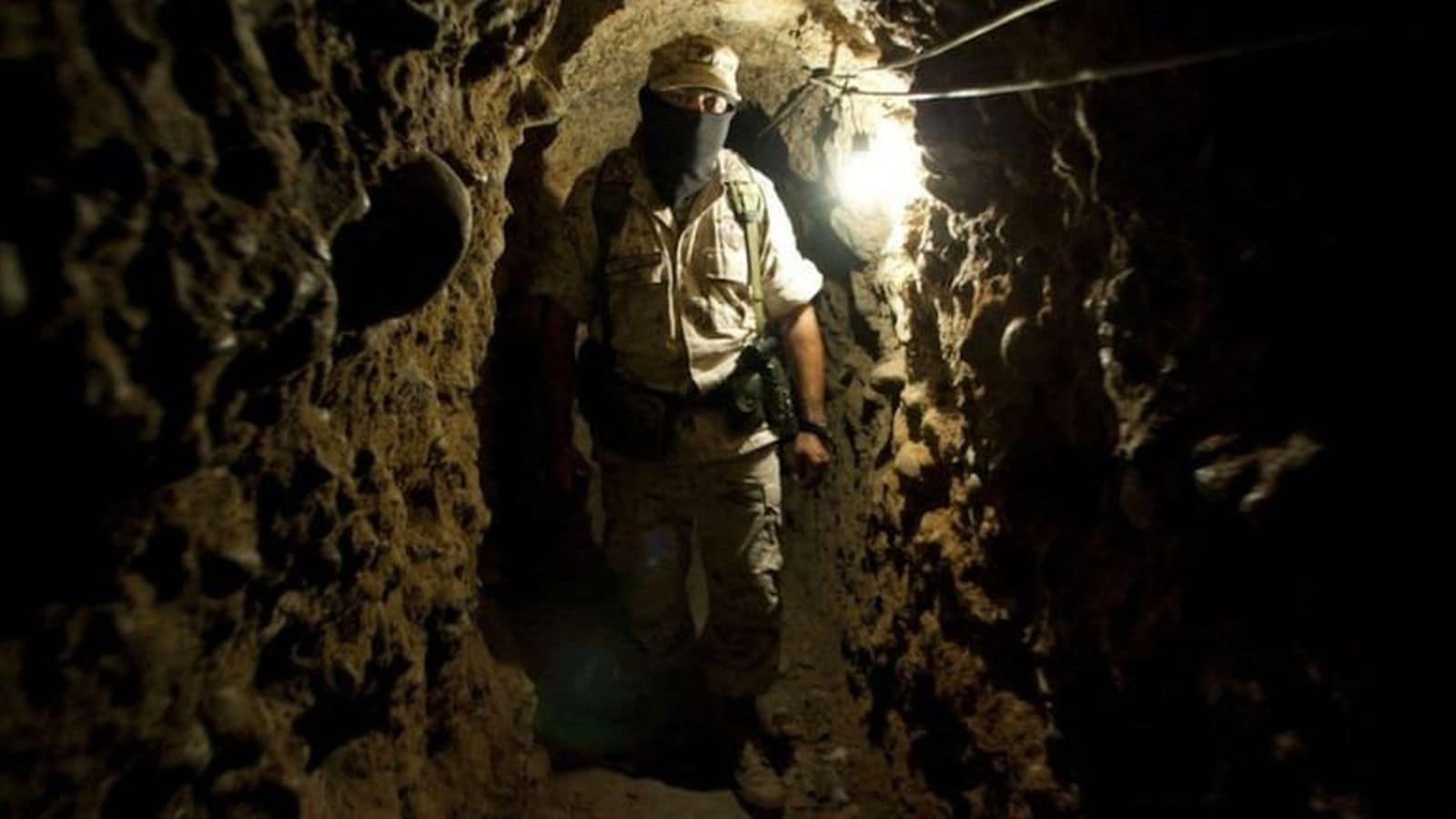
The detection of an unidentified, sub-10-meter reflective object at the southern entrance of Scarborough Shoal’s lagoon demonstrates the tactical calculus of non-kinetic, iterative territorial revisionism. Commercial satellite imagery captured by Satellogic on May 26 and May 28 reveals a persistent spatial anomaly on the reef flat. While the Philippine National Task Force for the West Philippine Sea (NTF-WPS) and Defense Secretary Gilberto Teodoro Jr. classify the data as unverified raw intelligence, the incident highlights a broader strategic mechanism: the use of low-signature, ambiguous physical footprint alterations to shift baseline territorial control without triggering a decisive military or legal response.
Analyzing this development requires moving past reactive diplomatic rhetoric. Instead, the situation must be evaluated through rigorous spatial, operational, and legal frameworks.
+-----------------------------------------------------------------------+
|                       SCARBOROUGH SHOAL REEF RIM                      |
|                                                                       |
|                                [ Lagoon ]                             |
|                                    ||                                 |
|                                    ||  <-- Lagoon Channel Entrance    |
|                                    \/                                 |
|   =============================[Anomaly]===========================   |
|   [ Southern Reef Flat: Sub-10m Reflective Object / Potential Buoy ]   |
+-----------------------------------------------------------------------+
The Three Vectors of Material Verification
Determining the exact nature of an object less than 32 feet in diameter via remote sensing requires isolating specific physical attributes. Philippine defense officials are currently examining three distinct structural hypotheses, each carrying a different level of operational intent and geopolitical risk.
1. Fixed Reef-Mounted Installations
A fixed structure anchored directly into the coral substrate represents the highest level of escalation. Geometrically, a permanent structure establishes a fixed geographic point that can be used for optical, signals intelligence (SIGINT), or hydrological monitoring. The structural load requires engineering mechanisms that differ significantly from floating assets, making its presence an explicit claim of permanent administrative jurisdiction.
2. Moored Buoy Systems and Floating Barriers
A tethered telemetry or mooring buoy serves a dual purpose: functional utility and spatial denial. China has previously deployed floating barriers across the 370-meter-wide channel leading into the internal lagoon. A new buoy anchored at the southern mouth can act as a permanent mooring point for People's Liberation Army Navy (PLAN), China Coast Guard (CCG), or People's Armed Forces Maritime Militia (PAFMM) vessels. This optimizes their fuel-to-loiter ratios by reducing the energy required to maintain a fixed position against tidal currents.
3. Unanchored Drifting Marine Debris
The lowest-impact hypothesis is that an unanchored object drifted onto the reef flat due to seasonal current variations. While the Armed Forces of the Philippines (AFP) noted that no active capital dredging vessels were observed in the immediate vicinity during May, the persistence of the object across a multi-day satellite capture window reduces the probability of a transient anomaly. However, it does not entirely rule out grounded debris.
Spatial Analytics and Fleet Density Dynamics
The structural anomaly at the lagoon entrance does not exist in isolation; it is supported by a calculated distribution of maritime security forces. During May, the AFP tracked 82 Chinese vessels operating within the Philippine exclusive economic zone (EEZ). The concentration of these assets reveals how China maintains regional dominance.
       MAY CHINESE FLEET DISTRIBUTION IN PHILIPPINE EEZ

       Total Monitored Vessels: 82
       +-----------------------------------------+-------------------------+
       | Scarborough Shoal Sector (39 Vessels)   | Other Sectors (43)      |
       +-----------------------------------------+-------------------------+
       | [█████████████████████████████████████] | [█████████████████████] |
       +-----------------------------------------+-------------------------+
       | 47.5% Fleet Concentration               | 52.5% Distributed       |
       +-----------------------------------------+-------------------------+
Deploying 39 vessels—nearly half of the monitored regional fleet—specifically to the Scarborough Shoal sector creates a highly dense defensive perimeter. This concentration operates as an exclusion zone that fulfills two main strategic objectives:
- Operational Denial: The high vessel density creates a physical barrier that prevents Philippine civilian resupply missions, such as the Atin Ito coalition initiatives, and traditional artisanal fishers from accessing the resource-rich lagoon.
- Information Insulation: This multi-layered maritime screen blocks physical access by Philippine patrol vessels, preventing them from conducting close-range inspection and verification of new reef anomalies. This forces Manila to rely almost exclusively on commercial satellite passes with fixed revisit rates and variable cloud cover.
Legal Friction and the Status Quo Threshold
The geopolitical impact of the anomaly depends on how it is classified under international maritime law and regional diplomatic agreements. The 2016 Arbitral Tribunal ruling under the United Nations Convention on the Law of the Sea (UNCLOS) determined that Scarborough Shoal is a high-tide feature that cannot generate an EEZ or continental shelf of its own. It also established that the feature is a traditional fishing ground for multiple nations, meaning China's de facto blockade is an ongoing violation of international law.
The introduction of a physical structure introduces a new variable into the compliance framework of the 2002 Declaration on the Conduct of Parties in the South China Sea (DOC).
+----------------------------------------------------------------------------+
|                  THE 2002 DECLARATION ON THE CONDUCT (DOC)                 |
+----------------------------------------------------------------------------+
|                                      |                                     |
|           COMPLIANT ACTIONS          |            NON-COMPLIANT            |
|                                      |             ESCALATIONS             |
|                                      |                                     |
|  - Routine maritime transits         |  - Constructing permanent outposts  |
|  - Maintaining existing footprints   |  - Modifying uninhabited features   |
|  - Temporary scientific research     |  - Establishing permanent fixtures  |
+----------------------------------------------------------------------------+
Article 5 of the DOC explicitly requires signatories to exercise self-restraint and avoid actions that complicate or escalate disputes, specifically highlighting the need to refrain from inhabiting currently uninhabited islands, reefs, shoals, and other features.
If validation confirms the object is a fixed installation or a permanent state-owned monitoring asset, it represents a structural modification of an uninhabited feature. This alters the status quo by turning an open geographic landmark into a controlled asset, chipping away at the foundation of regional diplomatic frameworks.
Strategic Countermeasures: The Limits of Transparency
Manila's current strategy relies heavily on maritime transparency—publicly releasing satellite intelligence, radar tracking data, and video documentation of gray-zone activities to build international diplomatic pressure. However, this strategy faces structural limitations when dealing with incremental, low-signature modifications.
The primary limitation of assertional transparency is that it is reactive. It depends on commercial or military surveillance networks detecting a change after it has already occurred. For sub-10-meter objects, the time gap between deployment, satellite detection, bureaucratic validation, and public disclosure gives an occupying force an opportunity to solidify its presence.
Furthermore, the lack of clear escalation thresholds for sub-military micro-structures creates an administrative bottleneck. While a large-scale island reclamation project using trailing suction hopper dredgers would trigger clear defense treaties, a single 10-meter buoy or small reef marker sits directly beneath the threshold that would justify a military response from Manila or its treaty allies.
The Immediate Strategic Play
The Philippine National Task Force for the West Philippine Sea must pivot from purely observational transparency to a structured verification and containment strategy.
First, Manila must deploy high-endurance, low-observable Unmanned Underwater Vehicles (UUVs) and autonomous surface vessels to bypass the 39-vessel Chinese surface cordon. These autonomous assets must capture high-resolution acoustic and optical telemetry to determine whether the object is fixed to the reef flat or floating.
Second, the resulting data must be integrated into the joint patrol framework established during the late-May bilateral maritime maneuvers with the United States. If the object is confirmed to be an unanchored drifting hazard or an illegal obstruction in a traditional international fishing corridor, the Philippine Coast Guard should leverage the presence of allied naval assets to conduct a targeted maritime interdiction and removal operation. This must be framed explicitly as a routine administrative safety-of-navigation action rather than a military engagement. Failing to physically inspect or challenge these micro-alterations establishes a dangerous precedent, converting temporary gray-zone experiments into permanent geopolitical realities.